Collectibles -> Transportation -> Maps & Atlases -> Maps -> US
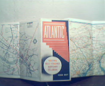
Map of W. Va., Va, MD, and DE from 1940s! in Color!

This map, of West Virginia, Virginia, Marlyland and Delaware, has Mileage Chart of major cities in these states, inset maps of Washington DC, Norfolk-Portsmouth, Wilmington DE, Roanoke VA, Baltimore, Richmond, and Philadelphia! Map is by Rand McNally! Size is 20 by 25 Inches Approx., Has some small tears on fold creases, and small areas of soiling along edges and on map covers, Overall in Very Good Condition!
Item # : 119673
Box # : 4655
Shipping From: Pittsburgh, PA 15219
Shipping Policy: See item description
Payments Accepted via: See Item Description
|


