Collectibles -> Transportation -> Maps & Atlases -> Maps -> US
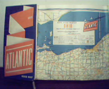
Atlantic Map of Ohio from Early 1940s! Great Color!

Great Color Map from the Early 1940's! Includes; Inset Maps of Canton, Dayton, Youngstown, Warren and Springfield, Akron, Cincinnati, Columbus, and Toledo and Pittsburgh PA! Mileag Chart for Ohio, Size is 28 by 23" Approx, Slight Wear, Some soiling, a few crease to edges, small tears as well, Overall Good Condition!
Item # : 119696
Box # : 4655
Shipping From: Pittsburgh, PA 15219
Shipping Policy: See item description
Payments Accepted via: See Item Description
|


