Collectibles -> Transportation -> Maps & Atlases -> Maps -> US
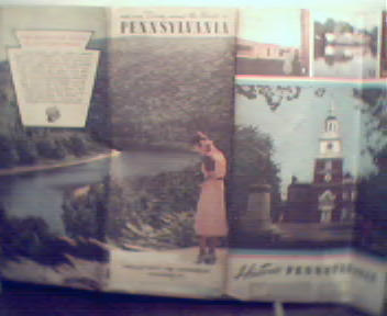
Map of Pennsylvania in Color from 1930s! Historical Inf

Shows state highway system and main connecting roads, populations of cities indicated by color coded guide, 94 by 54cm, Has city index, pictorial and historical map of state, photos of various locations of interest, Slight wear, some soiling and small tears to edges and creases, Overall Good Condition!
Item # : 119816
Box # : 4655
Shipping From: Pittsburgh, PA 15219
Shipping Policy: See item description
Payments Accepted via: See Item Description
|


