 |
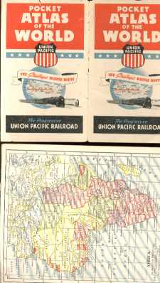
Union Pacific RR World Pocket Atlas 1920s
Union Pacific Railroad Pocket Atlas Of The World, circa 1920s - no date, Germany and Poland take up most of Eastern Europe, Russia marked as Soviet Union, African areas marked as French West Africa and French Equatorial Africa, Anglo-Egyptian Sudan, Italian East Africa, Belgian Congo, etc.; 3x5.25" 14 maps take up 2 pages each. Cover and one page loose. Tiny tear near spine edge front cover.
Overall condition: very good. See pic[s] below.

Item # : 17631
Box # : 1078
Shipping From: Pittsburgh, PA 15219
Shipping Policy: See item description
Payments Accepted via: Money Order/Cashiers Check / Personal Check / Visa/MasterCard / See Item Description / Discover
|


